All our trips in Iceland
Discover all our examples of itineraries in Iceland designed to inspire you
View travels

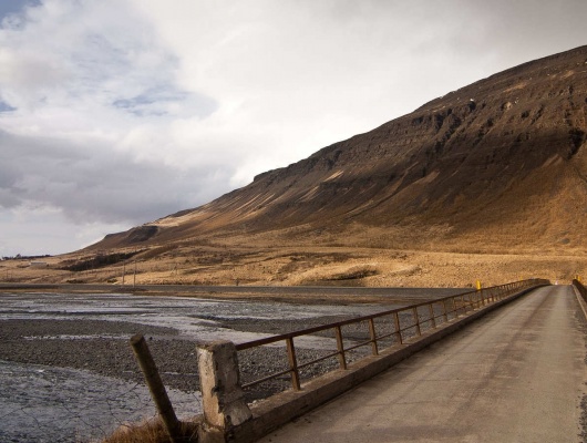
You’re an independent traveller and would rather explore Iceland behind the wheel of your own rental car? You’ve been inspired to take a walking holiday in Iceland and want to hike in Landmannalaugar? You’d prefer to stay in one place and discover Iceland there? Iceland like a Local has the answer, whatever the Iceland travel you seek!
A trip to Iceland can truly be anything you can imagine. The only thing all our options have in common is a sense of discovery and finding unforgettable memories. We aim to cater for every holidaying preference, and if you do not see yours exactly matched here, please do not hesitate to get in touch – we’re certain to create something to suit you. All trips to Iceland will include generous amounts of basking in this magical place’s natural beauty, and our tours have been specially designed with this in mind.
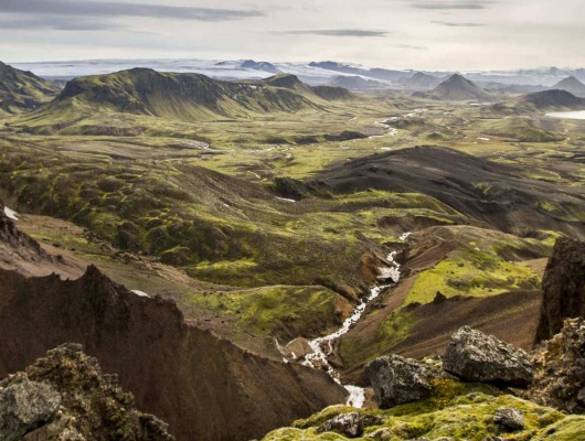
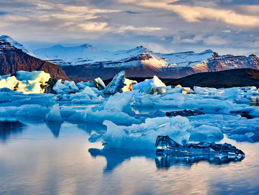
Whether you’re travelling on foot or taking a car, you’ll be surrounded by sights to inspire and take your breath away. You’ll need your camera equipment, as you’ll be making frequent stops to immortalise these memories. If you would like a little more structure to your stay, then the holidays we have chosen are set in locations with your relaxation in mind.
Whether you’re exploring a unique city like Reykjavik, settling into the comforts of a luxury chalet or even jetting off to Greenland, the experience will cleanse and rejuvenate you. And, whether you base yourself in one of our handpicked locations or take to the open road, you can fit in all sorts of day tours. Each one is something we’ve experienced ourselves, and it made its own contribution to making us fall in love with Iceland, and we hope they will have the same effects on you.
Find your perfect Iceland road trip!
Look through our stays, you may find a great Iceland cabin rental for your Winter holidays!
We know the best hikes in Iceland and will be glad to help you choose one!
Sample through our Iceland activities!
If you wish to discover Iceland destinations, you can read our regional descriptions! We also sampled our favorite thematic travel ideas.